Historical ecology

Overview

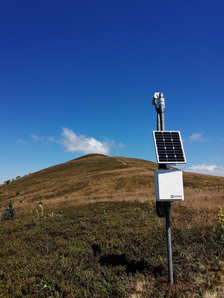
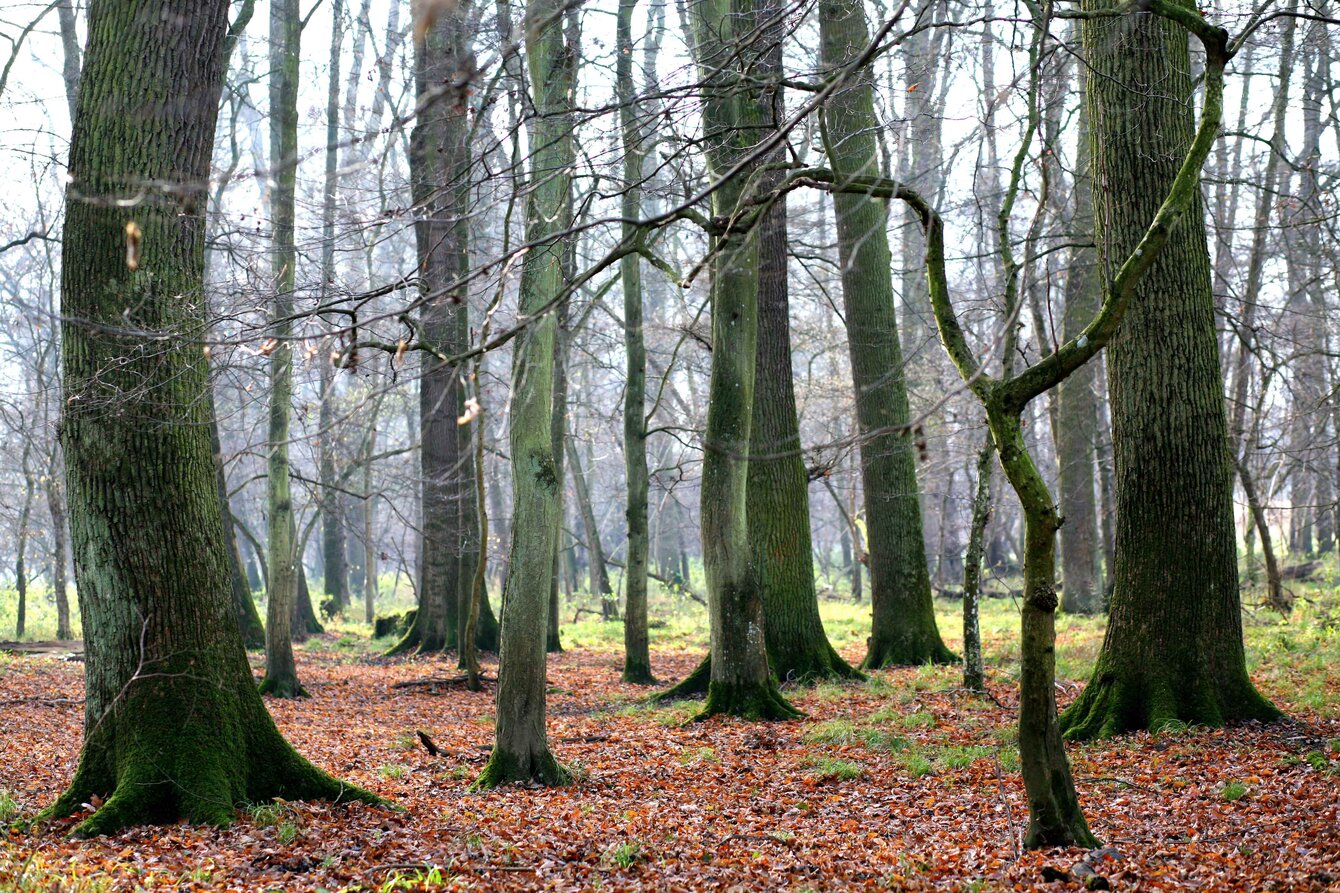
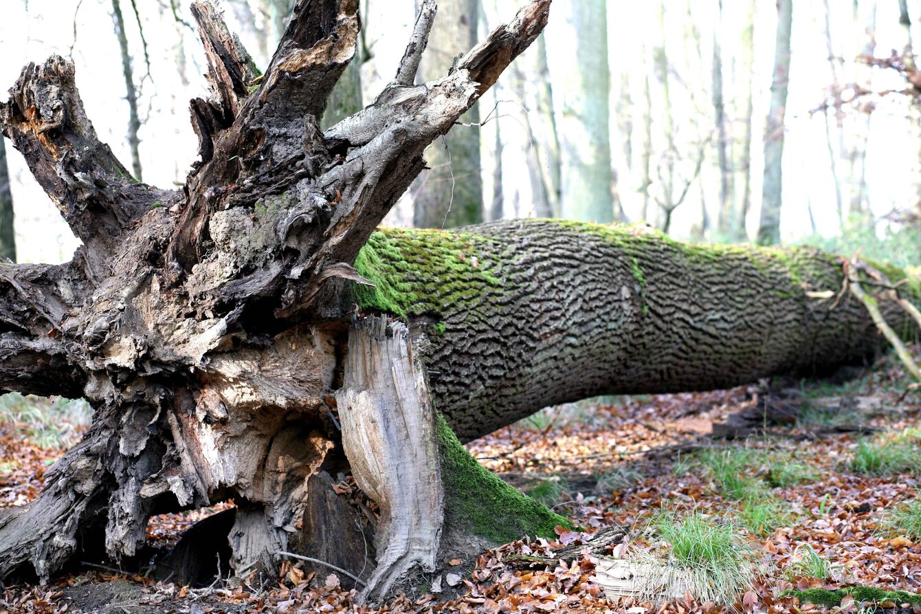
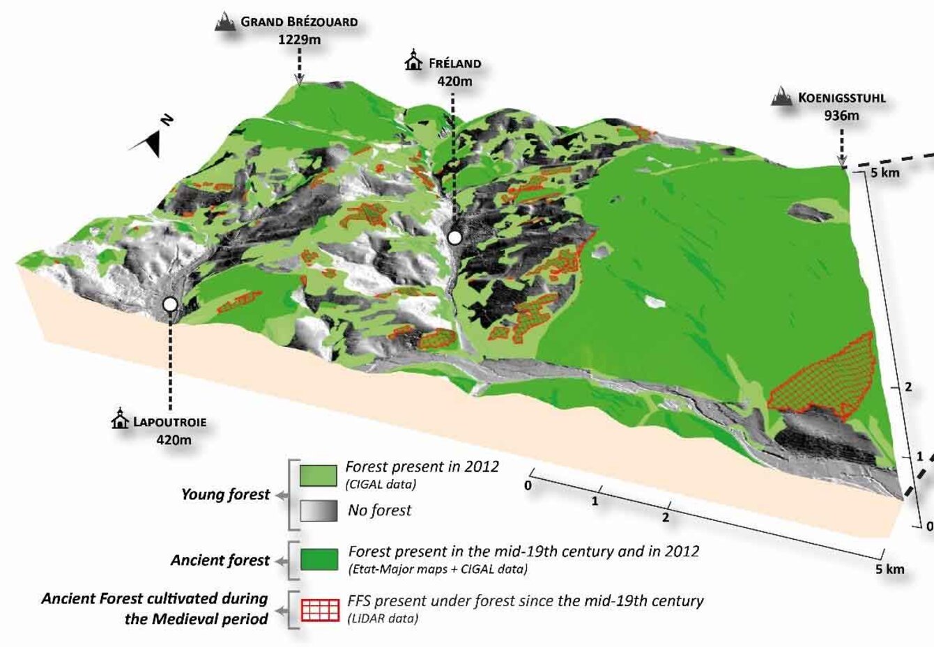
This research theme aims to understand current biodiversity patterns through the prism of landscape history. At the crossroads of geography, landscape ecology and soil science, it involves researchers and teacher-researchers in physical geography, geomatics/remote sensing and ecology from the Laboratoire Image, Ville Environment (UMR-7362), a joint research unit between the University of Strasbourg and the CNRS.

Research objectives

  • (1) Dynamics of ecosystems in rural and urban environments at various temporal scales;
  • (2) Detection and characterization of ancient ecological habitats using in situ and ex situ data (satellite and airborne remote sensing, soil archives, dates);
  • (3) Landscape-Biodiversity modelling;
  • (4) Impact of the data quality on the modelling approaches.

Projects

  • (1) PHENOMENE – 2023-2026 – Phénologie multi-échelle des prairies de moyenne montagne par télédetection (PI = LIVE; Fundings: TOSCA CNES)
  • (2) BIG TREE – 2022 – Cartographie des Grands et Vieux Arbres à partir de la technologie LiDAR (PI = LIVE; Fundings: Zone Atelier Urbaine de Strasbourg)
  • (3) HIATUS – 2019-2023 – Analyse d'images aériennes historiques pour l'étude de l'évolution des territoires (PI = IGN-LastiG ; Fundings: ANR)
  • (4) OHM Bitche – 2019-2022 – Histoire des paysages dans le Pays de Bitche : approches géographiques sur les derniers cycles de déprises agraire (PI = LIVE ; Fundings: Observatoire Homme-Milieu du pays de Bitche)
  • (5) ESPA – 2019-2020 – Extension spatiale des parcellaires anciens : combinaison des approches de télédétection et géochronologique (PI = LIVE ; Fundings: Maison Internationale des Sciences de l’Homme)
  • (6) RASTER – 2019-2021 – Reconnaissance d’Anciennes Structures agraires à partir de données de Télédétection (PI = LIVE ; Fundings: IDEX Attractivité)

Some publications

  • Keller, B., Herrault, P.-A, Rixhon, G., Schwartz., D., Ertlen. D. (2022). LiDAR-based characterisation of medieval field systems in a low mountain range (Vosges, NE. France): new insights into spatio-temporal dynamics of forest ecosystems (Submitted to Anthropocene)
  • Chardon, V., Herrault, P. A., Staentzel, C., Skupinski, G., Finance, O., Wantzen, K. M., Schmitt, L. (2022). Using transition matrices to assess the spatio‐temporal land cover and ecotone changes in fluvial landscapes from historical planimetric data. Earth Surface Processes and Landforms.
  • Herrault, P. A., Poterek, Q., Keller, B., Schwartz, D., Ertlen, D. (2021). Automated detection of former field systems from airborne laser scanning data: a new approach for Historical Ecology. International Journal of Applied Earth Observation and Geoinformation, 104, 102563.
  • Poterek, Q., Herrault, P. A., Skupinski, G., Sheeren, D. (2020). Deep learning for automatic colorization of legacy grayscale aerial photographs. IEEE Journal of Selected Topics in Applied Earth Observations and Remote Sensing, 13, 2899-2915.
  • Poterek, Q., Herrault, P. A., Forestier, G., Schwartz, D. (2020). Revealing Long-Term Physiological Trajectories of Grasslands from Legacy B&W Aerial Photographs. In XXIVth ISPRS congress, Commission III (Vol. 3, pp. 549-557). ISPRS.
  • Jautzy, T., Herrault, P. A., Chardon, V., Schmitt, L., Rixhon, G. (2020). Measuring river planform changes from remotely sensed data–a Monte Carlo approach to assessing the impact of spatially variable error. Earth Surface Dynamics, 8(2), 471-484.
  • Strouhalova B., Ertlen D., Šefrna L., Novak T.J., Viragh K., Schwartz D., 2019. Assessing the vegetation history of European chernozems through qualitative near infrared spectroscopy. Quaternaire, 30(3), 227-241.
  • Cateau, E., Herrault, P. A., Sheeren, D., Ladet, S., Brustel, H. (2018). The influence of spatial and temporal discontinuities of forest habitats on the current presence of flightless saproxylic beetles. Plos one, 13(5), e0197847.
  • Herrault, P. A., Larrieu, L., Cordier, S., Gimmi, U., Lachat, T., Ouin, A., Sheeren, D. (2016). Combined effects of area, connectivity, history and structural heterogeneity of woodlands on the species richness of hoverflies (Diptera: Syrphidae). Landscape ecology, 31(4), 877-893.
  • Ertlen D., Schwartz D., Brunet D., Trendel J.-M., Adam P., Schaeffer P. (2015). Qualitative near infrared spectroscopy, a new tool to recognize past vegetation signature in soil organic matter. Soil Biology and Biochemistry, 82, 127-134.
  • Vyslouzilova B., Ertlen D., Sefrna L., Novàk T., Viragh K., Rué M., Campaner A., Dreslerovà D., Schwartz D., (2015). Investigation of vegetation history of the chernozem buried in the Holocene with the method of near-infrared spectroscopy (NIRS): Quaternary International, 365, 203-211.
  • Herrault, P. A., Sheeren, D., Fauvel, M., & Paegelow, M. (2013). Automatic extraction of forests from historical maps based on unsupervised classification in the CIELab color space. In Geographic information science at the heart of Europe (pp. 95-112). Springer, Cham.

Photo gallery