
Résumé
Cette thématique de recherche vise à comprendre les patrons de biodiversité actuelle à travers le prisme de l’histoire des paysages. A la croisée de la géographie, de l’écologie du paysage et de la science du sol, elle implique des chercheurs et enseignants chercheurs en géographie physique, géomatique/télédetection et écologie du Laboratoire Image, Ville et Environnement (UMR-7362), unité mixte de recherche entre l'Université de Strasbourg et le CNRS.
Objectifs de recherche
- (1) Dynamique des écosystèmes en milieu rural et urbain à diverses échelles temporelles ;
- (2) Détection et caractérisation des habitats écologiques anciens à partir de données in situ et ex situ (télédétection satellitaire et aéroportée ; archives pédologiques ; datation) ;
- (3) Modélisation Paysage-Biodiversité ;
- (4) Impact de la qualité des données sur les approches de modélisation.
Projets
- (1) PHENOMENE – 2023-2026 – Phénologie multi-échelle des prairies de moyenne montagne par télédetection (Coordination LIVE ; Financement TOSCA CNES)
- (2) BIG TREE – 2022 – Cartographie des Grands et Vieux Arbres à partir de la technologie LiDAR (Coordination LIVE ; Finance Zone Atelier Urbaine de Strasbourg)
- (3) HIATUS – 2019-2023 – Analyse d'images aériennes historiques pour l'étude de l'évolution des territoires (Coordination IGN-LastiG ; Financement ANR)
- (4) OHM Bitche – 2019-2022 – Histoire des paysages dans le Pays de Bitche : approches géographiques sur les derniers cycles de déprises agraire (Coordination LIVE ; Financement Observatoire Homme-Milieu du pays de Bitche)
- (5) ESPA – 2019-2020 – Extension spatiale des parcellaires anciens : combinaison des approches de télédétection et géochronologique (Coordination LIVE ; Financement Maison Internationale des Sciences de l’Homme)
- (6) RASTER – 2019-2021 – Reconnaissance d’Anciennes Structures agraires à partir de données de Télédétection (Coordination LIVE ; Financement IDEX Attractivité)
Quelques publications
- Keller, B., Herrault, P.-A, Rixhon, G., Schwartz., D., Ertlen. D. (2022). LiDAR-based characterisation of medieval field systems in a low mountain range (Vosges, NE. France): new insights into spatio-temporal dynamics of forest ecosystems (Submitted to Anthropocene)
- Chardon, V., Herrault, P. A., Staentzel, C., Skupinski, G., Finance, O., Wantzen, K. M., Schmitt, L. (2022). Using transition matrices to assess the spatio‐temporal land cover and ecotone changes in fluvial landscapes from historical planimetric data. Earth Surface Processes and Landforms.
- Herrault, P. A., Poterek, Q., Keller, B., Schwartz, D., Ertlen, D. (2021). Automated detection of former field systems from airborne laser scanning data: a new approach for Historical Ecology. International Journal of Applied Earth Observation and Geoinformation, 104, 102563.
- Poterek, Q., Herrault, P. A., Skupinski, G., Sheeren, D. (2020). Deep learning for automatic colorization of legacy grayscale aerial photographs. IEEE Journal of Selected Topics in Applied Earth Observations and Remote Sensing, 13, 2899-2915.
- Poterek, Q., Herrault, P. A., Forestier, G., Schwartz, D. (2020). Revealing Long-Term Physiological Trajectories of Grasslands from Legacy B&W Aerial Photographs. In XXIVth ISPRS congress, Commission III (Vol. 3, pp. 549-557). ISPRS.
- Jautzy, T., Herrault, P. A., Chardon, V., Schmitt, L., Rixhon, G. (2020). Measuring river planform changes from remotely sensed data–a Monte Carlo approach to assessing the impact of spatially variable error. Earth Surface Dynamics, 8(2), 471-484.
- Strouhalova B., Ertlen D., Šefrna L., Novak T.J., Viragh K., Schwartz D., 2019. Assessing the vegetation history of European chernozems through qualitative near infrared spectroscopy. Quaternaire, 30(3), 227-241.
- Cateau, E., Herrault, P. A., Sheeren, D., Ladet, S., Brustel, H. (2018). The influence of spatial and temporal discontinuities of forest habitats on the current presence of flightless saproxylic beetles. Plos one, 13(5), e0197847.
- Herrault, P. A., Larrieu, L., Cordier, S., Gimmi, U., Lachat, T., Ouin, A., Sheeren, D. (2016). Combined effects of area, connectivity, history and structural heterogeneity of woodlands on the species richness of hoverflies (Diptera: Syrphidae). Landscape ecology, 31(4), 877-893.
- Ertlen D., Schwartz D., Brunet D., Trendel J.-M., Adam P., Schaeffer P. (2015). Qualitative near infrared spectroscopy, a new tool to recognize past vegetation signature in soil organic matter. Soil Biology and Biochemistry, 82, 127-134.
- Vyslouzilova B., Ertlen D., Sefrna L., Novàk T., Viragh K., Rué M., Campaner A., Dreslerovà D., Schwartz D., (2015). Investigation of vegetation history of the chernozem buried in the Holocene with the method of near-infrared spectroscopy (NIRS): Quaternary International, 365, 203-211.
- Herrault, P. A., Sheeren, D., Fauvel, M., & Paegelow, M. (2013). Automatic extraction of forests from historical maps based on unsupervised classification in the CIELab color space. In Geographic information science at the heart of Europe (pp. 95-112). Springer, Cham.
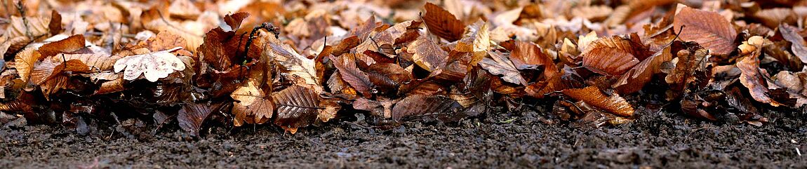
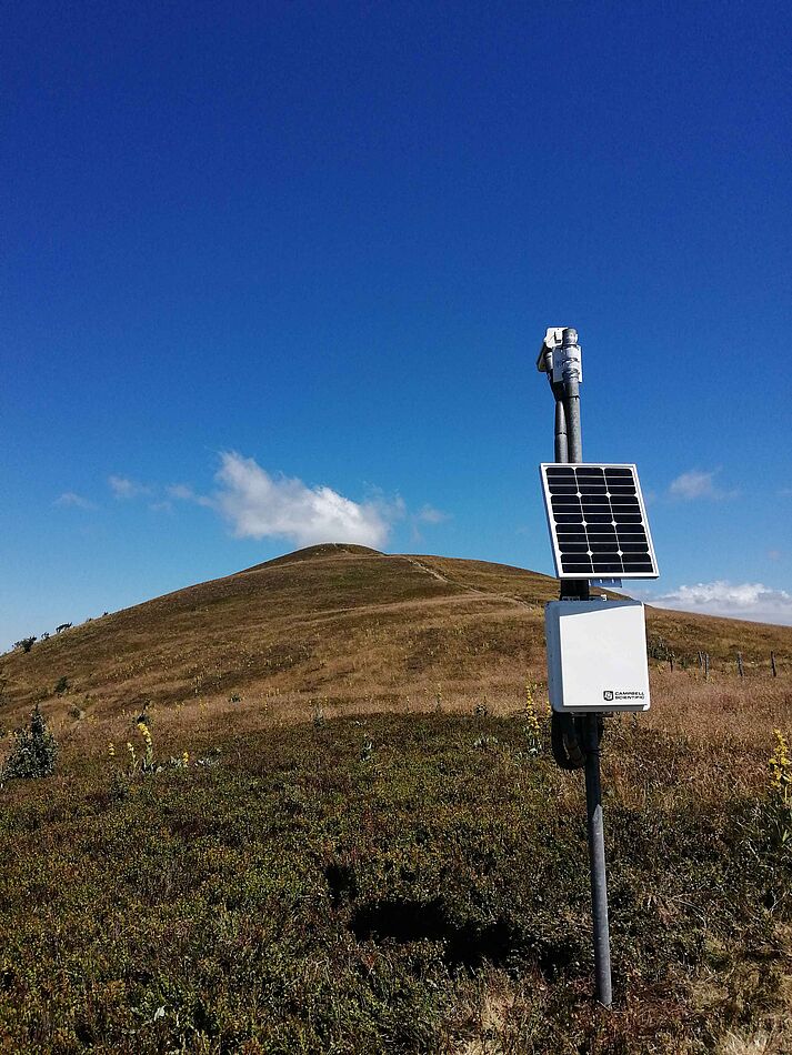
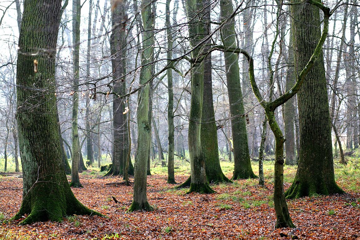
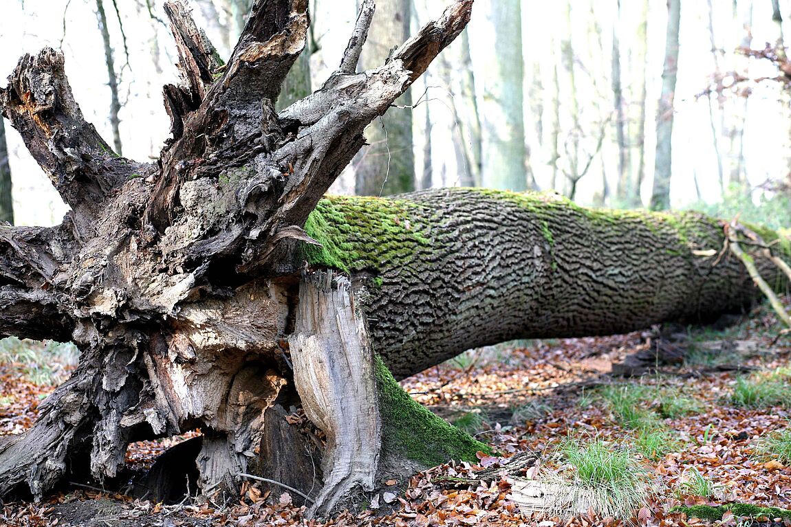
Galerie

Contacts
Dr. Pierre-Alexis HERRAULT, géomaticien
Université de Strasbourg, Département de Géographie et d'Aménagement
pierre-alexis.herrault[at]live-cnrs.unistra.fr
0033 (0)3 68 85 09 18
Dr. Damien ERTLEN, géoarchéologue
Université de Strasbourg, Département de Géographie et d'Aménagement